Bethan Crowe was featured in <a href="https://theisleofthanetnews.com/2020/07/07/nostalgic-google-map-project-charts-thanets-community-history/">local news</a> discussing her project This Was Our Thanet mapping community history in Thanet.
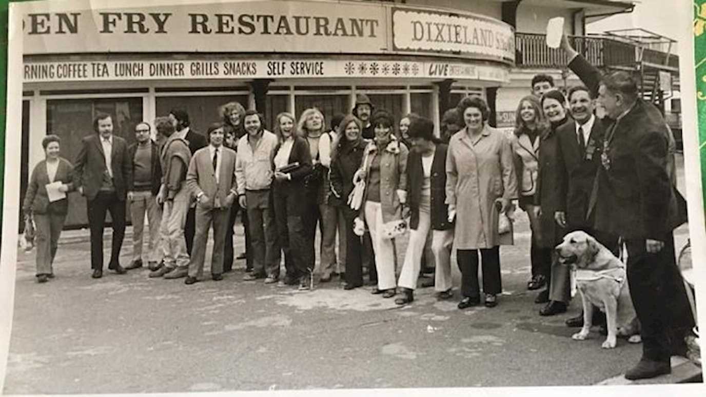
The project is crowd sourcing photos and memories from local residents charting the community over the last 100 years.
The aim of the map is to create a picture of Thanet as told by the people that actually experienced it but also to give others a chance to access those memories and pictures. Bethan says “No picture or story is too old, too new, too silly or pointless – I’m aiming to help people remember their version of Thanet, not just a ‘history-book’ version.”
More information is available via the project website or by email.
Photo: Carole Copeland - Charity walk for Guide Dogs outside the Royal Victoria Pavilion Ramsgate 1970’s


